Mississippi River Water Action Collaborative
The Arkansas and White River Basin is a significant hydrological region in the United States, encompassing parts of Arkansas, Missouri, and Oklahoma. Here's a brief overview of each:
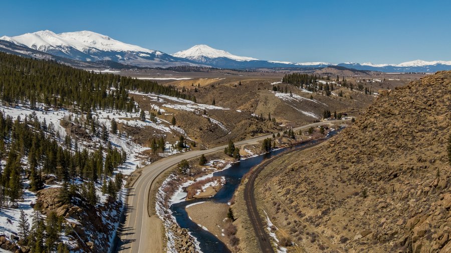
Arkansas River Basin
- Geography: The Arkansas River Basin covers approximately 170,000 square miles, making it one of the largest river basins in the United States. It spans from the Rocky Mountains in Colorado through Kansas, Oklahoma, and Arkansas, eventually joining the Mississippi River.
- Key Features: The basin includes major tributaries such as the Canadian, Cimarron, and Verdigris Rivers. It supports diverse ecosystems and is crucial for agriculture, industry, and urban water supply.
- Uses: The river is vital for irrigation, drinking water, and hydroelectric power. It also supports recreational activities like fishing, boating, and wildlife observation.
Upper Arkansas River in Colorado. Photo courtesy of Mitch Tobin and the Water Desk.
White River Basin
- Geography: The White River Basin covers about 28,000 square miles in northeastern Arkansas and southern Missouri. It includes the upper White River, which flows through the Ozark Mountains, and the lower White River, which meanders through the Mississippi Alluvial Plain.
- Key Features: The basin contains five large multi-purpose reservoirs and one primarily for flood control. It also features over 150 miles of flood control levees, two major national wildlife refuges, and the largest remaining concentration of seasonally flooded bottomland hardwoods in the Mississippi Valley.
- Uses: The White River Basin is essential for water supply, flood control, wastewater management, navigation, recreation, and power generation. It supports a variety of wildlife habitats and is a critical area for conservation efforts.