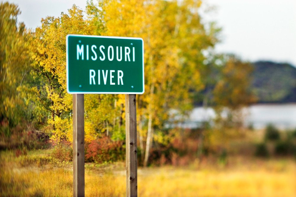
The Missouri River Basin is a vast and significant hydrological region in North America, encompassing parts of ten U.S. states and one Canadian province. Here's an overview:
Geography
Area: The basin covers over 529,000 square miles, making it the largest river basin in the United States.
Headwaters: The Missouri River originates in the Rocky Mountains of southwestern Montana, formed by the confluence of the Jefferson, Madison, and Gallatin Rivers.
Course: The river flows east and south for approximately 2,341 miles before joining the Mississippi River north of St. Louis, Missouri.
Key Features
Tributaries: Major tributaries include the Yellowstone, Platte, Kansas, and Osage Rivers. The basin also includes numerous smaller rivers and streams.
Dams and Reservoirs: The basin is home to several significant dams, including Fort Peck, Garrison, and Oahe, which are crucial for flood control, irrigation, and hydroelectric power.
Ecosystems: The Missouri River Basin supports diverse ecosystems, ranging from the mountainous regions in the west to the Great Plains and agricultural lands in the east.
Uses
Agriculture: The basin is a critical agricultural region, producing significant amounts of corn, soybeans, wheat, and livestock.
Navigation: The river serves as an important transportation route for goods, particularly agricultural products.
Recreation: The basin offers numerous recreational opportunities, including fishing, boating, and wildlife observation.
Water Supply: It provides water for millions of people and supports various industrial activities.
Challenges
Environmental Impact: The basin faces challenges such as sedimentation, nutrient pollution from agricultural runoff, and habitat loss.
Water Management: Managing the water resources of such a large and diverse basin requires coordinated efforts across multiple states and jurisdictions.